Direkt zum Inhalt Direkt zum Hauptmenü Direkt zur Fußzeile

Days with heat warnings

The illustration ‘Days with heat warnings’ (2017–2021) shows a map of Germany. Districts are categorized by heat warning days using nine color codes. The Upper Rhine Rift Valley had the highest warnings (12–16 days/year). In eastern Germany, including southern Brandenburg, Berlin, and the Bayerische Wald (near Austria and the Czech Republic), up to 12 days/year were recorded.
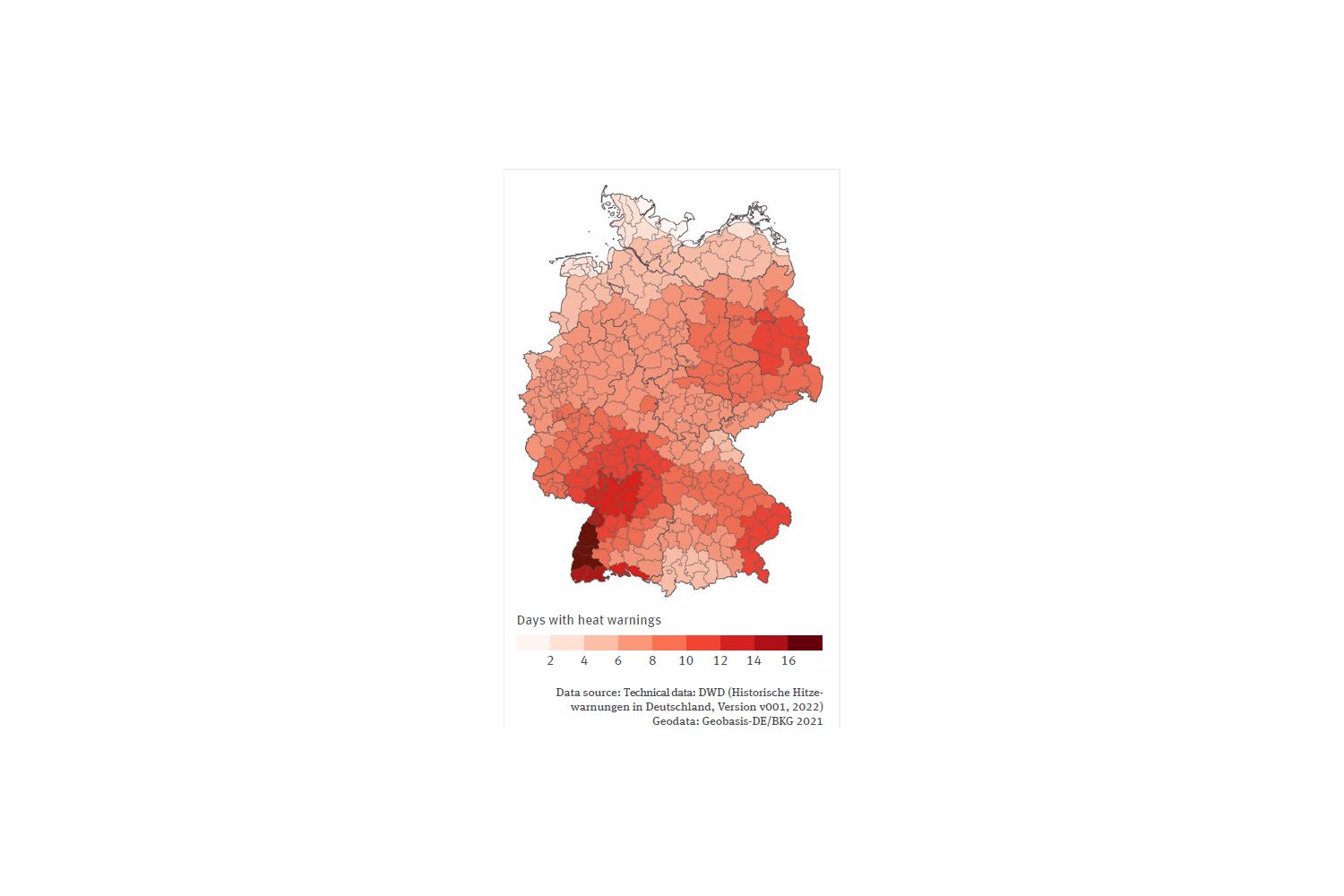
Quelle: Technical data: DWD (Historische Hitzewarnungen in Deutschland / Version v001 / 2022) Geodata: Geobasis-DE/BKG 2021
Bild herunterladen (59,10 kB)

Die folgenden Inhalte enthalten dieses Medium:

Kurzlink: www.uba.de/m113895de