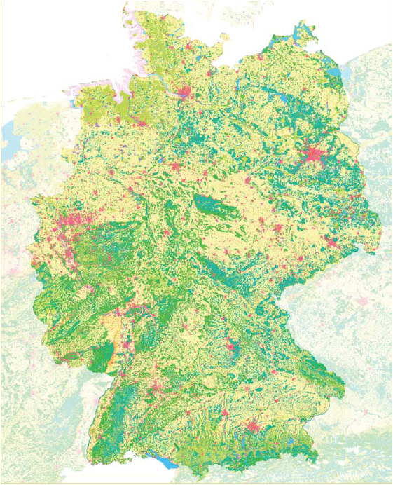
Harmonized land cover data for Germany, via the CLC program
CLC provides a trans-national concept and system for gathering and assessing land cover and changes therein. This pan-European data gathering process, which is based on geographical information compiled via satellite, began in the 1990s on a 1:10000 scale. During the first data gathering campaign, in reference year 1990 (CLC1990), 44 land use classes were defined, 37 of which are relevant for Germany (e.g. urban fabric, agricultural land, forests, wetlands and waterbodies).
During the second data gathering campaign, in reference year 2000 (CLC2000), the situation in that year was documented, along with (for the first time) land cover and land use changes relative to 1990. This data revealed (a) an increase in both built-up areas and in forest and waterbody areas; and (b) a substantial decrease in farmland and wetlands.
CLC was updated for reference year 2006 in 37 member states, as part of the pan-European activities of the Global Monitoring for Environment and Security (GMES) program. Like CLC2000, CLC2006 documented the land use situation in the reference year, as well as land use changes between 2000 and 2006. This data revealed a relative increase in built-up areas, but also in farmland, forests and waterbody areas; and (b) a decrease in land use for mining.
Like CLC2000, Germany’s CLC2006 program was carried out by the German Aerospace Centre (DLR)’s Deutsches Fernerkundungsdatenzentrum, on behalf of the UBA.