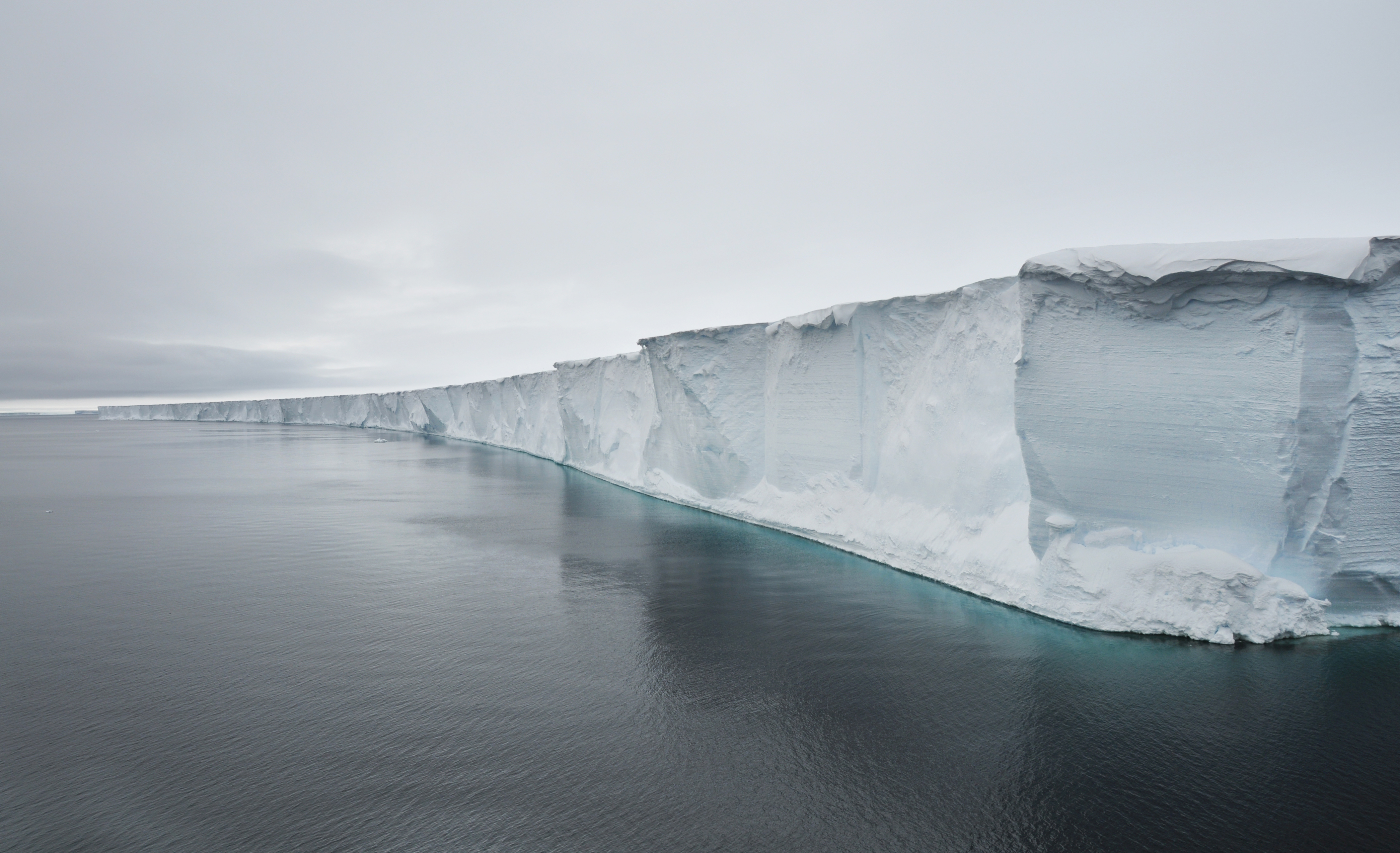
The Antarctic Treaty defines the entire area south of 60° latitude South as 'the Antarctic', that is, the continent (‘Antarctica’), its islands and the ocean. The continent alone covers a surface area of about 13.5 million km², an area 37 times larger than Germany, or one and a half times the size of Europe. 98 percent of the Antarctic continent is covered by ice which is an average 2.3 km thick.
The Transantarctic Mountains divide the semicircular East Antarctic Shield from West Antarctica with the Antarctic Peninsula. They extend across Victoria Land to Coats Land at the Weddell Sea. Their length of 3,500 km makes them the fifth longest mountain range in the world. West Antarctica's geography is characterised by mountain massifs and flat stretches of ice of an average height of 2,500 m. East Antarctica, which is about twice the size of West Antarctica, is a large elevated plain coveredby ice, with mountain peaks up to 4,500 m high. The inland ice cover, which is up to 4,000 m thick in some places, ranks Antarctica as the highest continent on Earth.
Antarctica is the largest freshwater reservoir in the world
70 percent of the Earth's freshwater is trapped in the ice here, making it the largest freshwater reservoir in the world. A melting of the ice cap would raise the sea level by up to 60 m, resulting in flooding of many densely populated coastal regions, islands and faraway swaths of land.
Antarctica's highest point is Mount Vinson in the Ellsworth Mountains (4,897 m); the lowest point is in the Bentley Subglacial Trench (2,538 m below sea level). There are active volcanic regions in Antarctica, for example Deception Island (a caldera flooded by the sea) or the volcano Mount Erebus (3,794 m) on Ross Island.
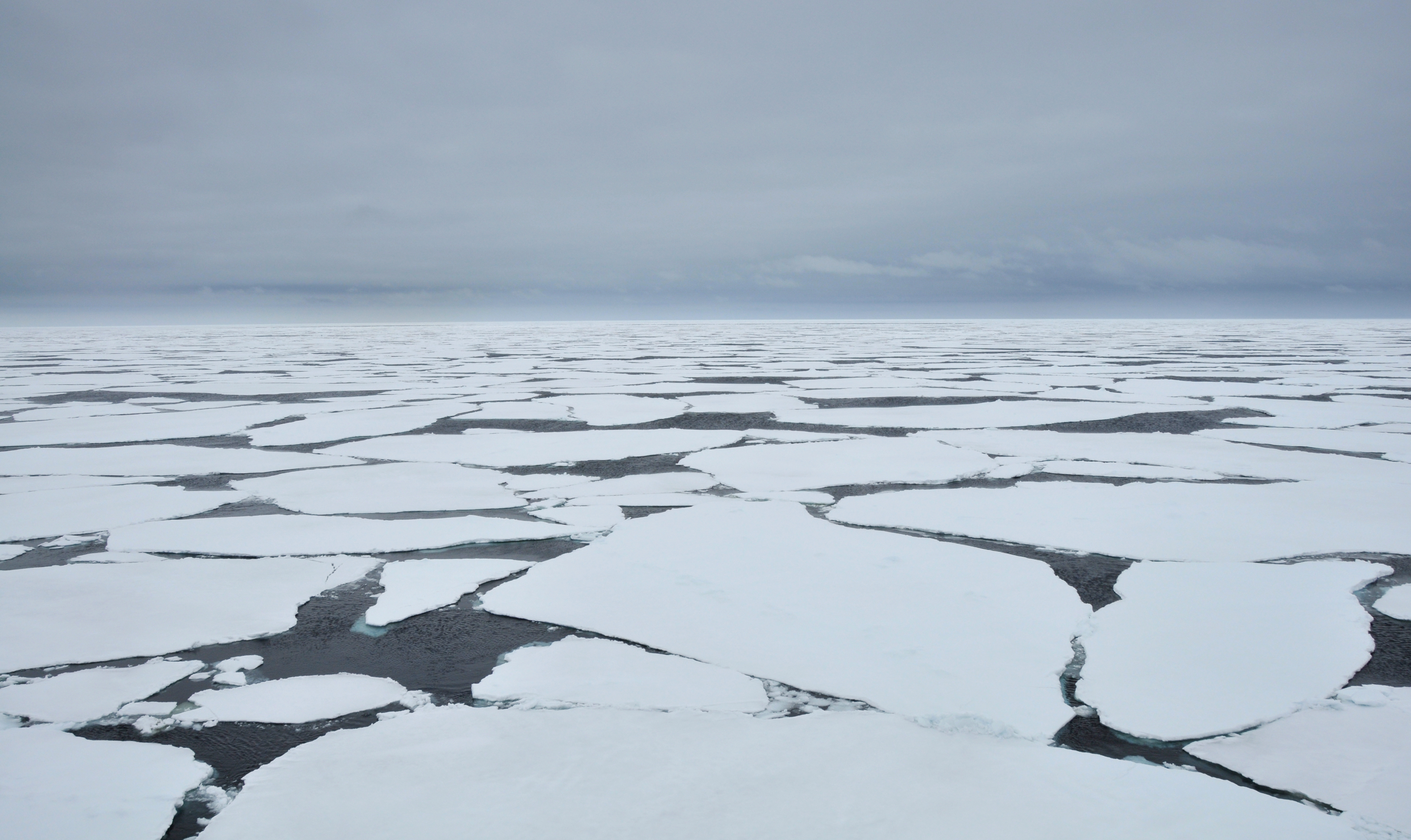
Shorelines change with the seasons
The Antarctic continent alone has a coastline of 32,000 km. It is surrounded by a massive body of water, the Southern Ocean, whose dominant circulation feature is a circumpolar current. It builds a front between 40°S and 60°S along which warmer water from more northern, temperate latitudes mixes with cold water masses from the Southern Ocean.
A wide layer of sea ice forms around Antarctica in winter, nearly doubling its surface area and causing constant change of its coastline. The ice thaws again in summer, and thus the ice edge shifts to the north and back again in the course of a year.