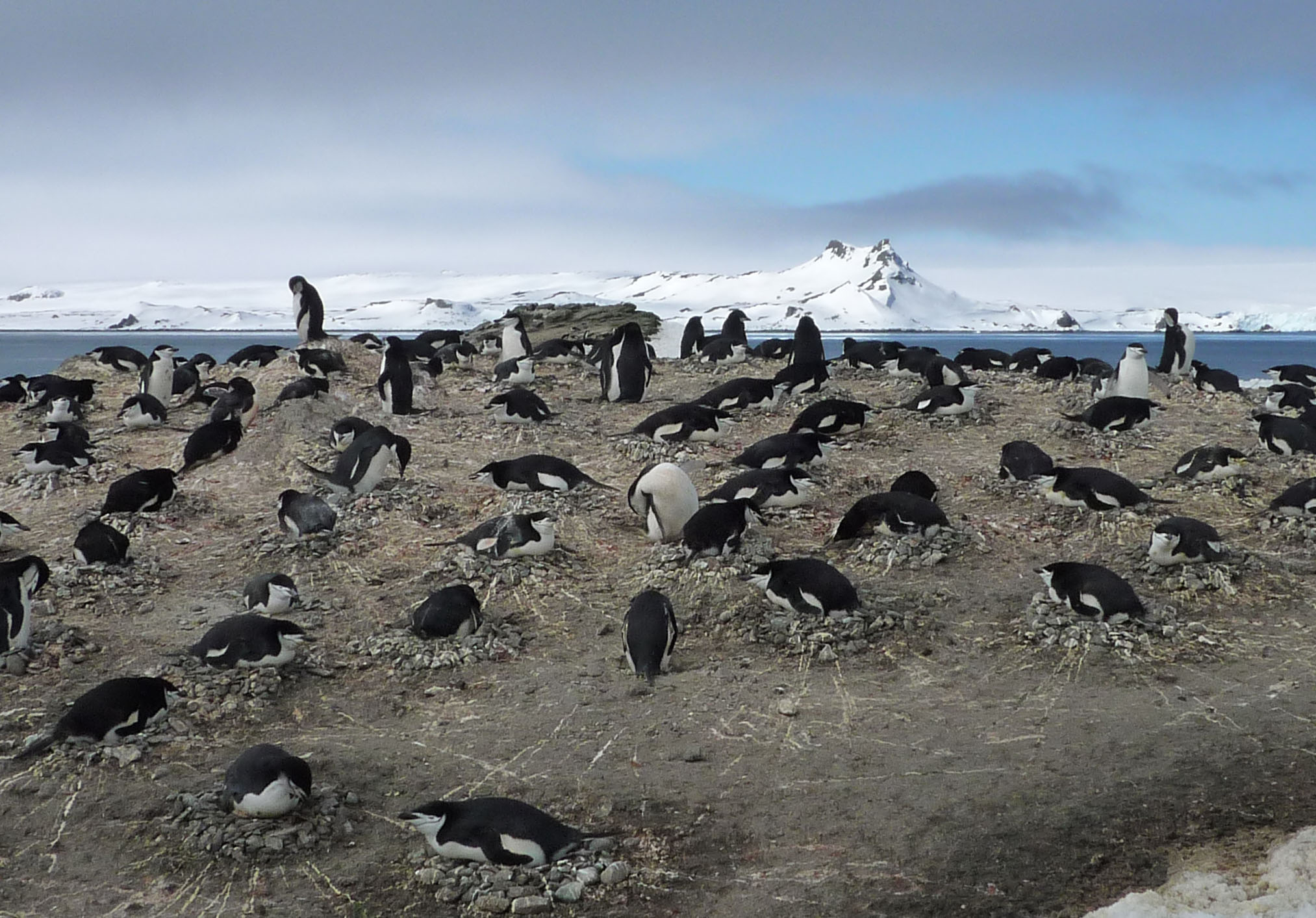
Penguin stocks facing change
Global climate change has also become evident in the Antarctic, in particular in winter along the western Antarctic Peninsula. Meteorological data from the Faraday/Vernadsky station for the month of June indicate a rise in temperature of 6°C over the past 50 years. This trend has widespread effects on the marine ecosystem and has released a cascade of changes. Satellite images taken in the past two decades indicate that the surface area of the sea ice around the Antarctic Peninsula has begun to retreat in some areas. Sea ice plays a key role for Antarctic krill (Euphausia superba), one of the main sources of food in the Antarctic ecosystem. The distribution and concentration of krill in turn influences the prevalence and rate of reproduction of its predators, which include penguins.
Population changes and shifts in penguin breeding grounds (in particular of the gentoo (Pygoscelis papua), chinstrap (Pygoscelis antarctica) and Adélie (Pygoscelis adeliae) penguins) on the Antarctic Peninsula are the consequences of such changes and have been observed in various different regions of the Antarctic. Studies show that the stocks of Adélie penguins, but also in part of chinstrap penguins, in the northern areas of the Antarctic Peninsula have dipped, whereas there has been a rise in their stocks in some more southern regions.
Satellite monitoring of penguins
Previous studies on population developments among penguin colonies have mainly been based on counting and ground-based mapping or selective aerial photos taken from aeroplanes and helicopters. Such methods are relatively time-consuming and very costly. The small-scale accounts of populations which they provide usually serve to continue valuable long-term data sets. Because of the great numbers of colonies (many of which have probably not yet been discovered) and the generally difficult accessibility of the regions, comprehensive monitoring is only objectively feasible if it is based on remote satellite imaging. A first pilot project has helped to prove that remote imaging is a plausible method for representative monitoring of penguin populations.
The UBA is campaigning at political level and in cooperation with science (through the Scientific Committee on Antarctic Research − SCAR) for a system of representative monitoring of Antarctic penguin populations that is supported by the greatest possible number of parties to the Antarctic Treaty.