Further Links
Nationwide / Inter-river basin
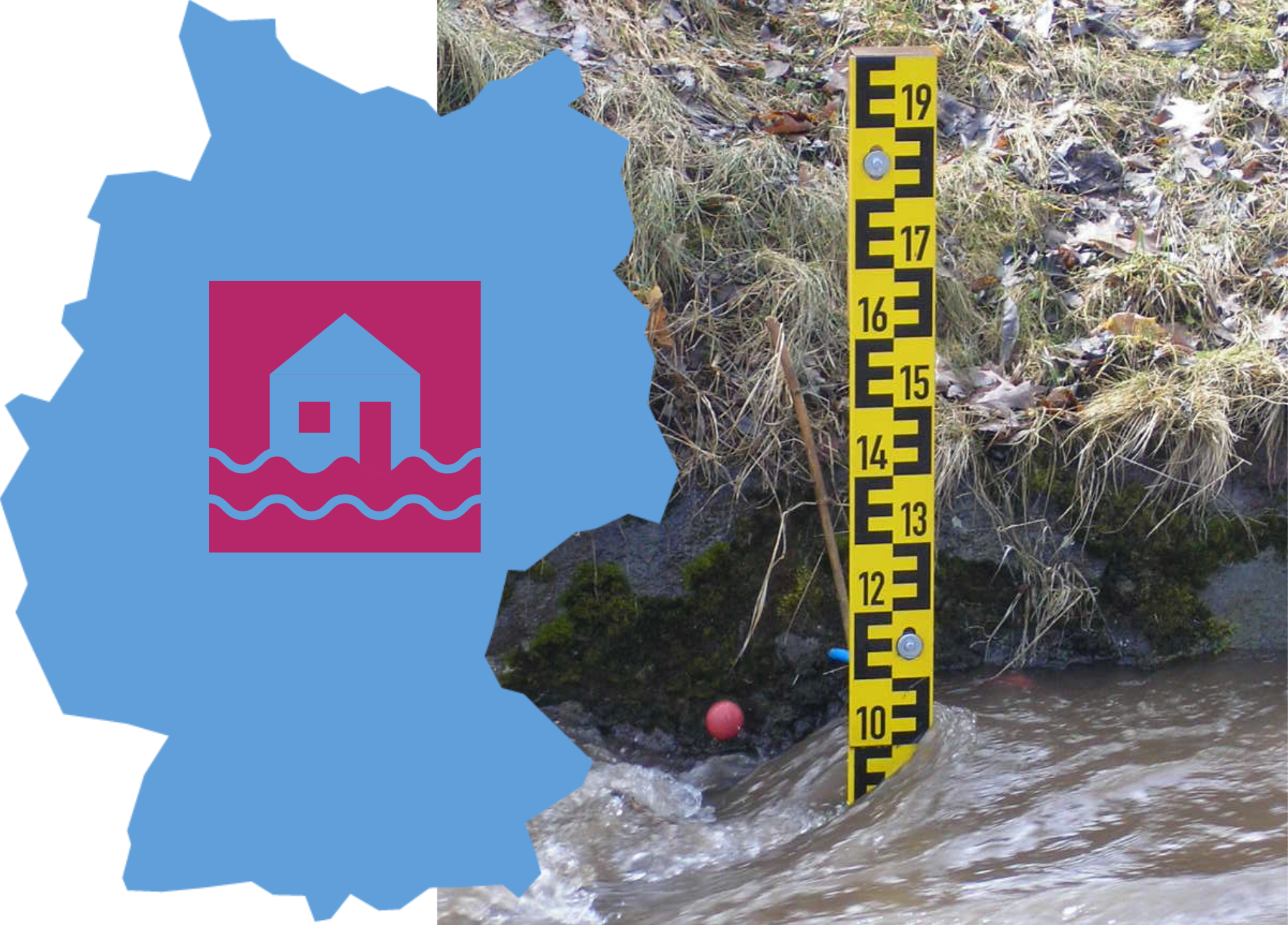
- The Inter-State Flood Portal (LHP) is operated jointly by the German federal states. For this purpose, each federal state provides continuously updated data of a selection of flood gauges. They publish brief information on the "Current situation" as well as, if applicable, current "Flood warnings" and more detailed "Reports".
- Information on current water levels is provided by the waterway information system of the Federal Waterways and Shipping Administration (Pegelonline). Also, water levels are forecasted at relevant gauges by the Electronic Waterway Information System (ELWIS).
- The German Weather Service also publishes weather warnings.
- The warning app "NINA", managed by the Federal Office of Civil Protection and Disaster Assistance, can be downloaded as a precautionary measure. It provides early information about all possible dangerous situations - including floods. Nevertheless, it should be noted that the warning app "NINA" can only serve as a supportive source of information and should be supplemented by other precautionary measures.
Regional / River basin specific
Danube
- Flood Information Service Bavaria
- Flood Forecasting Centre Baden-Württemberg
Elbe
- National Flood Centre Saxony
- Flood Forecasting Centre Saxony-Anhalt
- Flood Warnings Brandenburg
- Flood Centre Lower Saxony
- Inland Flood Warning Service Hamburg
- Flood Strom Information Schleswig-Holstein
Ems
- Flood Centre Lower Saxony
- Flood Warning Service North Rhine-Westphalia
Oder
- Flood Warnings Brandenburg
Rhine
- Flood Information Service Bavaria
- Flood Forecasting Centre Baden-Württemberg
- Flood Warning Centre Saarland
- Flood Warning Service Rhineland-Palatinate
- Flood portal Hessen
- Flood Warning Service North Rhine-Westphalia
Weser
- Flood portal Hessen
- Flood Warning Service North Rhine-Westphalia
- Flood Centre Lower Saxony
- Flood situation - Bremen