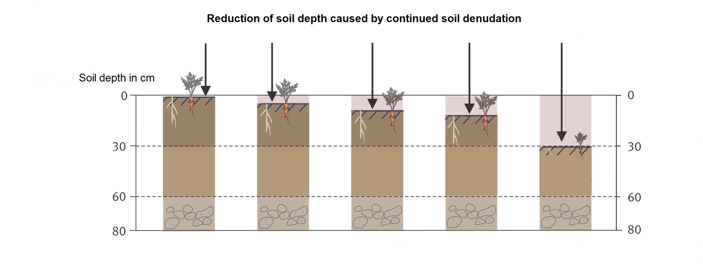
In principle, both soil loss by water and wind erosion are natural land forming processes triggered by factors such as precipitation, wind, slope and soil type (see also UBA topic pages "Soil loss by water" and "Soil loss by wind"). The risk for soils from soil loss, taking only the natural influencing factors into account, is referred as the potential soil loss risk. The main natural influencing factors are the soil conditions, site-specific characteristics and climatic conditions. However, it can be assumed that soil loss does not occur to any significant degree when naturally formed year-round plant cover is present. The currently observable dimension of soil loss in Central Europe is a result of human activities, mainly food production. In combination with the natural factors, usage dependent influences determine the actual soil loss risk.
The most important usage dependent factors are the structure of the landscape, the cultivated crop type or crop type rotation, and soil tillage.
- Large open cultivated areas without small-scaled structures (hedges, green strips, rows of trees, etc.) favor erosive processes.
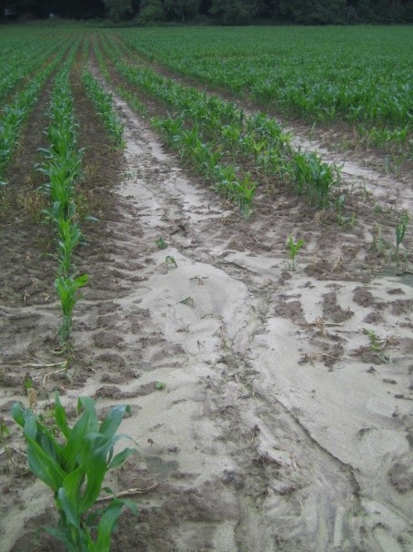
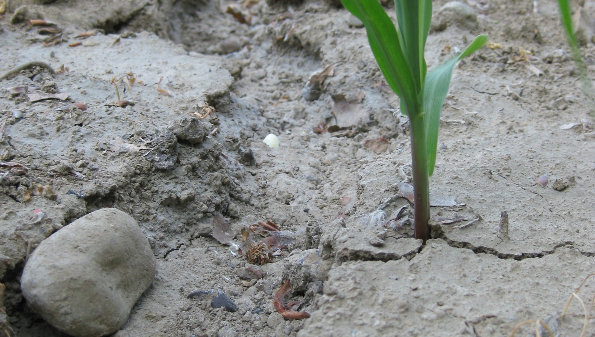
- Crops that develop late in the year or are planted in wide row spacing (such as maize, sugar beets) leave most of the soil uncovered, especially in winter, spring and early summer. Wind and water can directly attack and erode the soil. Without accompanying measures such as intercropping, undersowing or mulching, these crops face a significantly increased risk of soil loss.
- The intensity of soil tillage influences both the soil cover in terms of incorporation of crop residues and the soil stability. Conservation tillage practices support both soil cover and soil stability and thus, for example, the ability of soils to absorb and store water. The risk of soil loss is reduced.
In addition, climate change increases the risk of soil loss significantly. In particular, the increasing probability of dry phases, local heavy rainfall and the possibility of increasing wind speeds are decisive. This development emphasizes the need to protect our soils even more strongly in the future from soil losses and the associated degradation.
Due to the natural and climatic conditions in Germany, soil loss by water is dominant in the predominantly hilly landscapes, whereas especially in the flatter terrain of northern Germany and near the coast, wind is the predominant trigger of soil loss, also due to the sandy soils in this area.