Cluster Spatial, regional and urban development planning
Cluster Spatial, regional and urban development planning
Source: darknightsky / stock.adobe.com
2023 Monitoring Report on the German Strategy for Adaptation to Climate Change
Cluster Spatial, regional and urban development planning
Source: darknightsky / stock.adobe.com
2023 Monitoring Report on the German Strategy for Adaptation to Climate Change
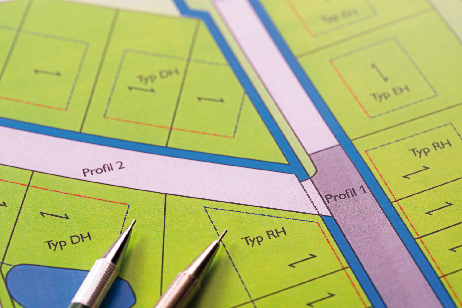
Spatial, regional and urban development planning can support adaptation to climate change in two significant ways. On one hand, these types of planning can provide targeted promotion of risk provisioning at every planning level, and they can govern land use in a way that mitigates existing or expected climate risks – for example from extreme weather events, weather patterns and their impacts. For instance, a different plans can be used to direct the development of human settlement and infrastructures towards low-risk areas, to safeguard flood plains by turning them into retention spaces, or to protect open spaces as climatic balancing areas or as components of biotope networks.
On the other hand, spatial, regional and urban development planning can help to reconcile diverging claims and requirements arising from climatic circumstances as well as reconciling such claims/requirements among themselves and with issues of landscape potential.
Climate change has not affected all parts of Germany equally. The impacts of meteorological changes depend in part on regionally specific factors of influence and vulnerability. In their planning processes, the regions have to confront their individual challenges, while any expected impacts should be recognised and taken into account at the earliest possible stage and as comprehensively as possible. Spatial, regional and urban development planning are themselves neither directly exposed to nor dependent on influences of weather or weather patterns. Therefore, they are not directly affected by impacts resulting from climate change. That is why DAS Monitoring does not contain any statements on climate change impacts concerning this action field.
In the 2021 Climate Impact and Risk Analysis (KWRA), spatial, regional and urban development planning are addressed as a joint cross-sectional action field. This is why climatic impacts were not described for this action field in the KWRA; consequently, no climate impact assessment was carried out. With their planning tools, spatial, regional and urban development planning set the planning framework conditions for the implementation of adaptation processes at the relevant level. The outcomes of a KWRA survey have shown that it is important to give adaptation measures more comprehensive consideration in regional development planning processes. Among other things, this can be achieved, for instance, by explicitly strengthening the argument for climate adaptation as a crucial element in balancing considerations. In view of the climate risks presumed to be facing Germany in the future, there is a specific need for balancing any land use interests in respect of natural resources such as water and soil.
Planning at Länder and regional level implements, either explicitly or implicitly, the adaptation to climate change in terms of spatial planning objectives and principles and also in terms of technical drawings specifying the supra-local plans regarding their respective areas of application. The contents of plans are recorded in the Regional Spatial Structure Plan Monitor (ROPLAMO) of BBSR, and these records permit the assessment of the prevailing state ofclimate adaptation in the process of spatial planning.
Towns and municipalities are responsible for the core task of implementing climate adaptation in a local context, with due consideration of planning regulations. The planning tools available in this context are the land use plan as a link to supra-local spatial development and the development plan for more small-scale partial areas of the plan. However, there is currently no overview available indicating to what extent the municipalities have been implementing any existing opportunities for action. According to an assessment carried out in 2020, municipal climate adaptation measures have been taken into account increasingly in these plans. However, it must be said that at both planning levels, that there is unexploited potential at both planning levels.218 Any assessment of land use plans and urban development plans is made difficult owing to the high expenditure involved. Such evaluations would require a comprehensive qualitative analysis of a plethora of plans. With a view to DAS Monitoring, there are currently insufficient quantitative data available in order to illustrate in an indicator the consideration of climate change adaptation in the process of urban development planning. Moreover, there are data gaps also in respect of the integration of the vulnerability aspect into planning concepts, or the consideration of climate protection and adaption in environment-related spatial planning tools such as Environmental Impact Assessments.
In cases where climate change adaptation is taken into account in regional and urban development planning, it remains unclear to what extent the specifications laid down actually prove effective in practice. The current legal framework, for instance, strengthens climate adaptation where it is made a balancing requirement. However, there is no information available indicating to what extent these issues carry weight within the framework of balancing processes.
A vital spatial planning tool to reduce climate risks and damage potentials is the stipulation of specific types of land use. One of the measures employed by regional planning is the safeguarding of areas for wildlife and landscape thus promoting the maintenance of biodiversity (cf. Indicator RO-R-1): The biotope network ensures that animal and plant species can adapt their respective distribution area to changing climatic conditions. Moreover, the targeted designation of purpose-specific priority and restricted areas supports flood control (cf. Indicator RO-R-3), it contributes to safeguarding the groundwater and drinking water reserves when heat and drought occur more and more frequently (cf. Indicator RO-R-2), or it serves to reduce bio-climatic stress in affected regions, especially in towns where heat is rising (cf. Indicator RO-R-4). The recent expansion of some of the land categories in question exemplifies the increasing incorporation of these issues in current planning processes.
Apart from the targeted safeguarding of ecologically or climatically valuable land, it is crucial to curb any new take-up of land for purposes which jeopardise its potential in terms of adaptation to climate change. In particular, the focus is on restricting the sprawl of settlement and transport areas (cf. Indicator RO-R-5). Despite the fact that the take up of land has slowed down in recent years, it is important to redouble efforts to curb its inward intensification, for instance by land recycling or supplementary densification of settled areas; at the same time, however, it is important not to neglect bio-climatic or other requirements in the adaptation to climate change. It remains a serious issue of concern that owing to the prevailing high settlement pressure, new housing developments still keep appearing in flood plains (cf. Indicator RO-R-6). Regional and urban land use planning must carry out their control functions resolutely in order to keep safe any flood plains and areas exposed to other hazards such as geo-risks.
Both Federal and Länder governments support climate adaptation in regional planning, and in particular, sustainable urban development by means of their programmes furthering such objectives. The promotion of urban development at Federal and Länder level helps towns and municipalities to eradicate serious deficits in the field of urban development and to create residential areas worth living in. To this end, climate protection and adaptation constitute prerequisites for obtaining funding. These prerequisites apply to cross-sectional tasks that attract funding for a variety of programmes. The Federal programme entitled ‘Adaptation of urban spaces to climate change’ promotes the climate-adapted development of green spaces and open spaces, such as parks and park-like spaces; it also supports the desealing and greening of open spaces and transport areas. The White Paper entitled ‘Weißbuch Stadtgrün’ is one of the documents formulating practical measures and recommendations proposed at Federal level for the integration of urban green spaces into the general urban space.219
The Federal government’s measures and recommendations are underpinned by the outcomes of various research projects. Part of the BBSR’s remit is the Action Programme ‘Demonstration Projects of Spatial Planning’ (MORO), which focuses on the conflict between increasing spatial demands and the increasingly limited resource of space at the level of regional planning. Other projects are dedicated to the research of urban restructuring and the development of technologies for water-sensitive urban development. Findings from federal research on climate adaptation were summarised within the framework of ‘cross-evaluation of core joint projects carried out at Federal level for adaptation to climate change with focus on urban and regional development’220 and this summary was processed by means of producing reports and guidelines for municipalities and regions.
Given that impacts of climate change occur right across the borders of Länder, intensive and networked communication is a key to sustainable regional development. Since 2021 any such endeavours are supported by the ZKA. The Centre’s tasks include rendering advice to municipalities in all phases of development and implementation of climate adaptation concepts. Furthermore, ZKA provides information on suitable fundin opopportunities.
218 - Huber B., Dunst L. 2021: Klimaanpassung in der Bauleitplanung. Zum Integrationsstand klimaanpassungsrelevanter Maßnahmen in Flächennutzungs- und Bebauungsplänen mittelgroßer Städte Deutschlands. Raumforschung und Raumordnung, 79, 5, 501-517. doi: 10.14512/rur.34.
219 - BMUB – Bundesministerium für Umwelt, Naturschutz, Bau und Reaktorsicherheit(Hg.) 2017: Weißbuch Stadtgrün – Grün in der Stadt – Für eine lebenswerte Zukunft. Berlin: 42ff. https://www.bmwsb.bund.de/SharedDocs/downloads/Webs/BMWSB/DE/publikationen/wohnen/weissbuch-stadtgruen.html.
220 - BBSR – Bundesinstitut für Bau-, Stadt- und Raumforschung (Hg.) 2023: Forschungsprojekt: Querauswertung zentraler Verbundvorhaben des Bundes zur Anpassung an den Klimawandel mit Fokus Stadt- und Regionalentwicklung – Ergebnisse. https://www.bbsr.bund.de/BBSR/DE/forschung/programme/weitere/anpassung-klimawandel-massnahmen/querauswertung/01_Start.html?pos=2.
The UBA’s motto, For our environment (“Für Mensch und Umwelt”), sums up our mission pretty well, we feel. In this video we give an insight into our work.
Due to the large number of enquiries, there may be delays in responding. We ask for your understanding.
