Pilot project on tradable land planning permits
A pilot project on tradable land planning permits is currently being conducted with selected municipalities across Germany (only a small scale simulation had been conducted to date). Researchers are operating on the assumption that tradable zoning rights could be highly effective.
This pilot project, which was commissioned by the UBA, stems from a provision in the October 2009 coalition agreement.
Tradable planning permits – what’s it all about?
The idea of managing environmental resources via trading systems is not new, and is in essence based on an environmental economics paradigm, whereby use of the environmental good in question (in this case, land) is limited and is divided into various claims on use. These claims are then allocated to the relevant stakeholders as certificates. The most prominent example of this kind of trading system is emissions trading, which aims to reduce greenhouse gases.
The principle of land tranding is based here on the granting of planning permits to municipalities. These certificates grant municipalities the right to obtain permits for construction projects outside of existing built-up areas. Under this system, the number of certificates must equate to the acreage of open space that is being newly developed for settlement and transport use.
Such certificates are only required for development outside of existing built-up areas, and are not required for inner urban development projects. If the amount of open space a municipality wishes to develop exceeds the amount of open space allowed by their certificates, they may purchase additional certificates from other municipalities. Conversely, municipalities that do not need all of their certificates may sell them to other municipalities – for example, if they meet their land use needs internally by developing and reusing brownfields or developing the open space between buildings.
An upper limit could be set for allocated land use certificates – for example 30 hectares annually in Germany. This would be consistent with the goal in Germany’s sustainability strategy that is to be achieved by 2020. Another possibility would be to define any number of milestones in the runup to meeting the so called 30 hectare objective or other land take reduction objectives, which could also be set for the period after 2020. This would encourage municipalities to abolish policies that promote property development of open space – policies that were intended to “stock up” on land in the hope of attracting new residents and businesses. Those municipalities would end to promote the development of brownfield land (as well as other vacant properties) and – for economic reasons – sell off their allotted certificates.
Potential certificate purchasers tend to be economically growing municipalities that wish to strengthen their growing economies and that have neither a sufficient number of certificates nor a sufficient amount of inner urban land to implement their land use policies. Such municipalities would only purchase certificates in cases where doing so made good economic sense; and thus virtually all land use would occur in settings that are likely to yield the greatest benefits. The advantages of this approach are obvious:
- Land take across the country could be oriented toward the 30 hectare objective (or any other land take reduction objective) and would ensure the achievement of this target.
- Market forces would prevent greenfield development in municipalities that have no real benefit from this.
- The scarcity of new developments would drive up land value of existing properties. The competitive disadvantages of inner urban brownfields would be reduced, this revitalizing such properties would become a more appealing prospect.
- Certificates are freely tradable, i.e. municipalities retain their planning sovereignty and flexiblilitye.
- The reduction of land consumption will be rewarded. Municipalities that dispense with new development at greenfield sites can generate revenue by selling their certificates.
- Planning laws would be strengthened, rather than weakened. Proven urban-planning instruments that promote qualitative land use stewardship would be strengthened by an additional quantitative component.
Research results on tradable land planning permits
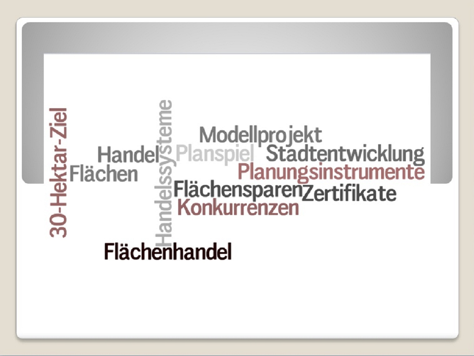
Various studies have been conducted with the goal of determining whether trading systems are structurally compatible with land use reduction and whether efficient systems of this nature can be implemented. This research clearly shows that such systems are feasible and could be highly effective. Experts in the field have made the following specific recommendations (among others) concerning the individual components and overall concept of a nationwide system of tradable land planning permits: imposing value and quantity restrictions; imposing physical and spatial market limits; setting goals and rules for initial certificate allocation; organizational structures for trade; setting time limits on certificate validity; across the board monitoring of the trading system. In addition, the constitutional and statutory underpinnings of nationwide regulation of a trading system could be researched and identified.
Nationwide, pilot project on tradable land planning permits
In their coaltion agreement of October 2009, the government parties for the 17th legislative period agreed strengthen inner urban development in order to reduce land take in keeping with the 30 hectaretarget. A key issue in this context was the intetion to investigate the performance of tradable land planning permits in practice. coaltion agreement states the following in this regard: “We intend to initiate a pilot project in which the municipalities will voluntarily test a trans-regional tradable land planning permit system.”
An UBA study that proposed a design for this pilot project clarified the remaining unresolved issues as to how tradable certificates would be rolled out during this pilot project:
- No major changes in existing zoning and spatial planning law are needed. Tradable certificates will merely complement existing planning regulations and will not replace them.
- The only planning procedures that need certificates are those involving development outside of existing built-up areas; no such certificates will be required for inner urban development. In the interest of clearly distinguishing between inner urban areas requiring no certification and development outside of existing built-up areas, a user friendly and streamlined procedure was elaborated.
- It is allowable to allocate certificate costs to property owners and property developers.
- A population density-based allocation model was developed so as to allow certificates to be granted free of charge. Using a certificate calculation tool, municipalities can determine exactly how many certificates they will be receiving (expressed as 1,000 square meters of land per year and certificate). By revoking existing land development permits, municipalities can also obtain so called white certificates, which can also be traded and that enable municipalities to adopt regulations aimed at achieving further land use reduction goals.
Pilot project execution
Work to implement the design proposal for a trans-regional pilot project on tradable land planning permits started in January 2013 under the aegis of the UBA, whereby the number of participating municipalities will be increased incrementally to 50 to 100. The pilot project per se is composed of two main elements:
Municipal case studies (since 2013)
Cases studies are being conducted in real time simulation with 15 municipalities in order to test the tool of land trading. This will shed light on the baseline conditions, objectives and decision-making processes involved in land use planning. From the results information will be derived on how land use planning could be combined with the sale and purchase of certificates.
Controlled field experiment (as from 2014)
A controlled field experiment involving 50 municipalities at a minimum will be carried out as a simulation in fast motion. All intended land developments and related sale and purchase of certificates for the next 15 years will be mapped out on a timeline. To this end, computer-aided sessions will be held that selected representatives from the municipalities (for example, from the urban planning department and/or the finance department) will attend. The simulation will address the following issues:
- Do tradable land planning permits prevent the “right” locations from being developed?
- To what extent does the certificate price deviate from the equilibrium price? Do troublesome price fluctuations occur, and if so, under which circumstances?
- Which municipal coordination processes trigger trading of certificates, and how much effort does this process entail?
 Click to enlarge